
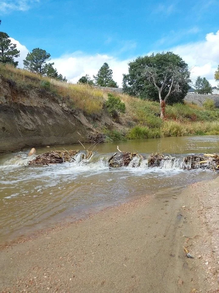
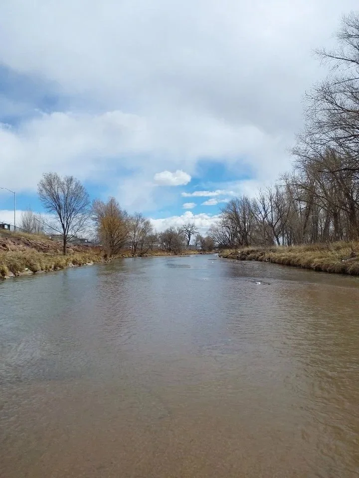
About the Stormwater Master Drainage Plan Study
There are many drainage basin planning studies (DBPSs) that focus on developing areas in the County. Most of the County's DBPSs were completed before 2010, making them outdated and not suitable in many ways, like the types and amounts of development that have taken place, design standards, hydrologic modeling, water quality and water rights rules, and the effects of development on drainage systems and streams. In addition, different jurisdictions and districts in the County have completed other studies that differ from the County DBPSs.
The Stormwater Master Drainage Plan study is set to happen over three years, starting in spring 2026 and ending in spring 2029. This study will look at both the current and future drainage conditions in the region; identify flood risks, inadequate facilities and improvements that are needed; expected future capacity upgrades, priorities, and estimated costs to be included in the County’s capital improvement program; and look at the current drainage and bridge fee system.
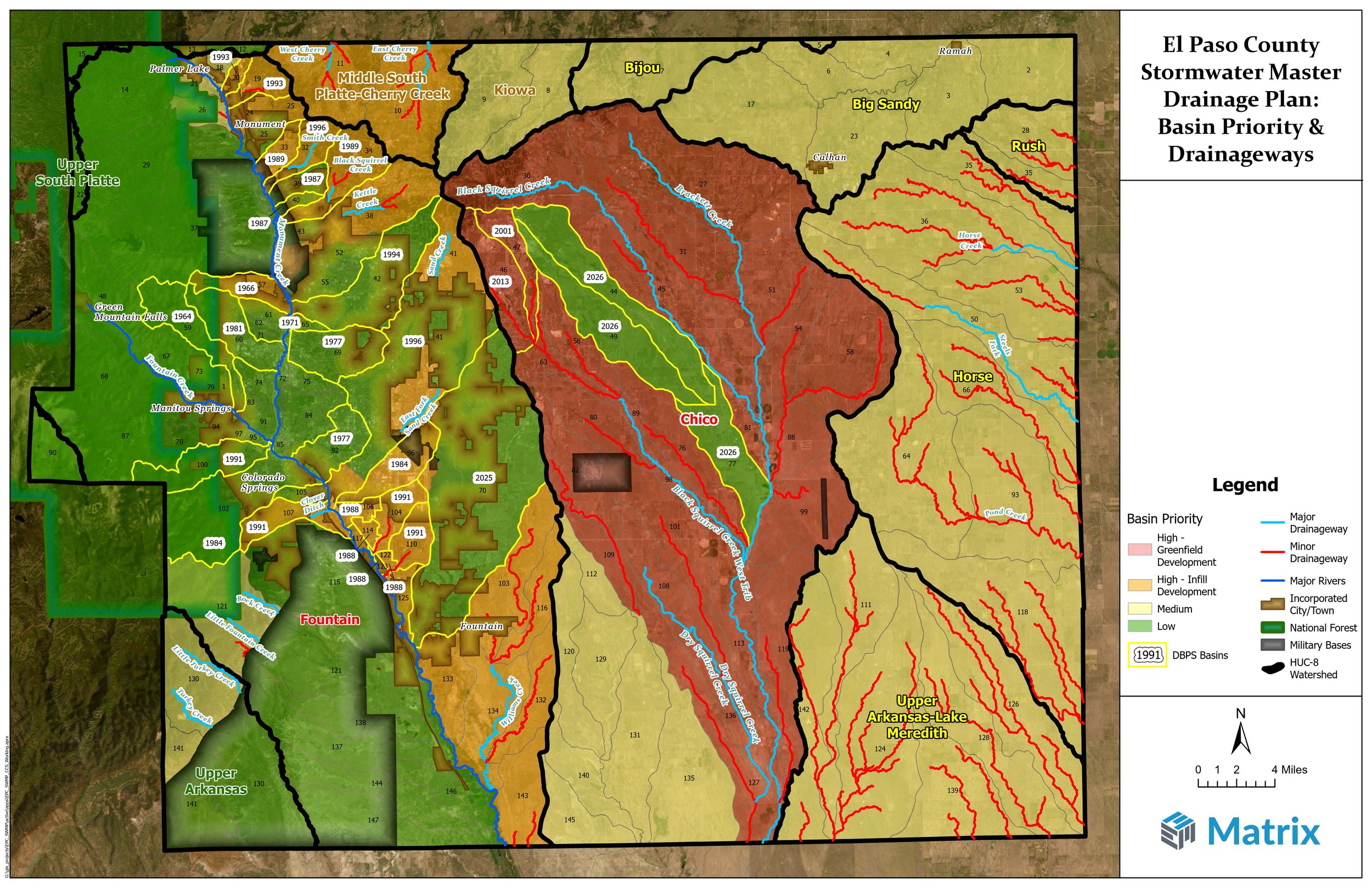
Pictured are the stormwater basins located within the El Paso County Stormwater Master Drainage Plan boundaries.
LEARN MORE ABOUT THE PLAN
Study Objectives
1
Develop updated stormwater models for the County's watershed areas and streams
2
Identify needed regional drainage improvements for anticipated development by the year 2045
3
Integrate the SWMDP suggestions into capital improvement programs as well as into the drainage and bridge fee system
4
Create SWMDP maps and documents that are easy to update in the future
Basin Features / Information Available
Previous studies on drainage basins and development fees in El Paso County have found 145 separate drainage basins across 14 sub watersheds in the County. Out of these, 30 have a Drainage Basin Plan Study (DBPS) adopted by the County. For the SWMDP, it is expected that the parts of the 11 United States Geological Survey (USGS) watersheds in El Paso County, listed in the table below, will be the focus of the study, with varying levels of detail for each watershed as needed.
| Watershed / USGS HUC 8 ID No. | Basin Area / Area in County / Unincorporated (sq. mi.)* | Development Density | Level of Study Detail Needed | Notes |
|---|---|---|---|---|
| Big Sandy 11020011 |
1,896 / 112 / 111 | Agricultural / Rural | Low | Most development is in and around Ramah and Calhan |
| Bijou 10190011 |
1,391 / 23 / 23 | Agricultural / Rural | Low | Some 5-acre rural lot development |
| Chico 11020004 |
740 / 597 / 597 | Agricultural / Rural / Residential | Varies, High to Low | Large amount of new development in upper portion of basin |
| Fountain 11020003 |
927 / 772 / 541 | High to Low / Agricultural | Varies, High to Low | Highest amount of development density; large incorporated areas |
| Horse 11020008 |
1,426 / 283 / 283 | Agricultural | Low | Almost entirely agricultural |
| Kiowa 10190010 |
718 / 35 / 35 | Rural Residential | Low | Most zoning is for 5-acre rural lot development |
| Middle South Platte-Cherry Creek 10190003 |
2,905 / 44 / 44 | Varied Residential | Medium | Varying levels of residential development |
| Rush 11020012 |
1,359 / 23 / 23 | Agricultural | Low | Almost entirely agricultural |
| Upper Arkansas 11020002 |
2,304 / 71 / 71 | Very Low | Low | Mostly Fort Carson, National Forest, and Colorado Springs Utilities-owned |
| Upper Arkansas-Lake Meredith 11020005 |
2,205 / 161 / 161 | Agricultural | Varies, Low to Very Low | Almost entirely agricultural |
| Upper South Platte 10190002 |
1,846 / 9 / 9 | N/A | Very Low | National Forest |
| Total County Unincorporated Area | 2,129 / 1,897 sq. miles | |||
* Basin areas are approximate and may not account for recent annexations and actual topography.
Study Phases
The SWMDP will be created through seven phases that usually happen one after the other.
Phase 1. Scoping, Stakeholder Involvement and Public Collaboration Plan
In this phase, a plan for Stakeholder and Public Collaboration will be made. Stakeholders will be identified and contacted. Concerns, questions and comments will be noted, status of the study will be shared, decisions made, milestones achieved, and updates to the study schedule will be communicated.
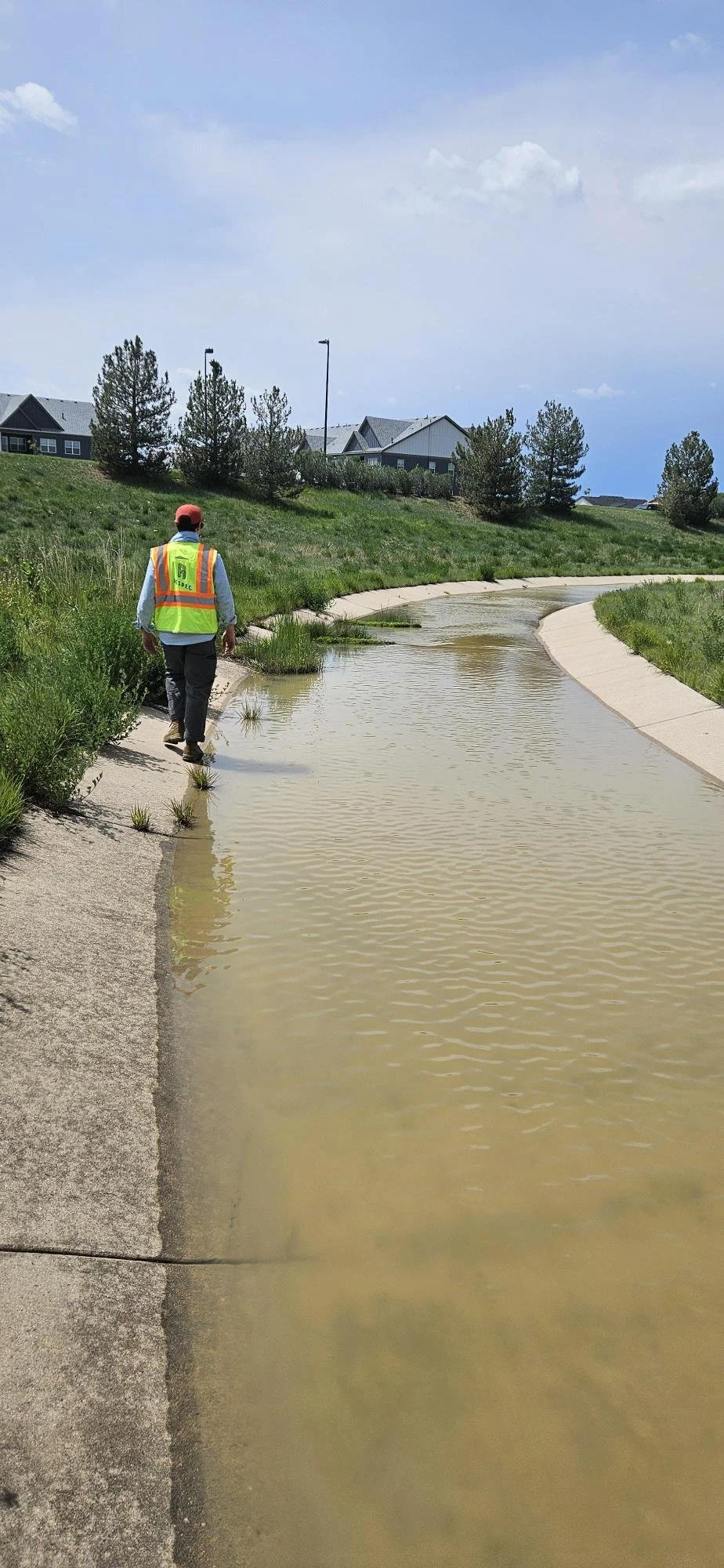
Phase 2. Data Gathering / Current and Future Water Conditions
During this stage, we will collect important information such as:
• Manuals and policy documents for drainage criteria
• Studies on hydrology and floodplains
• FEMA maps and flood history of the areas
• Past studies on basin planning and drainage in the areas
• USGS geological maps and potential geological hazard maps
• Maps of environmental and wildlife resources
• Boundaries of different jurisdictions
• Aerial photographs, both current and historical
• Data on land use and zoning, both existing and future
• Information on major land development plans
• Soils data
• Survey data
• Inventory data and photos of the existing stormwater system
• Observations of basin conditions, field surveys, and photos
• Plans for major transportation corridors
• Regional parks, trails, and open spaces
• Information on major utilities, both existing and proposed
• Facilities for irrigation
Phase 3. Evaluation of Flood Hazards and Infrastructure Capacity
This phase will look at information about places that are at risk of flooding, possible river hazards, and infrastructure that is not sufficient for current or future stormwater flows.
Phase 4. Environmental Concerns, Water Quality Impairments and Pollution Sources
In this phase, information will be gathered concerning issues related to the interaction with, influence on, and pollution of stormwater facilities and runoff. Areas that may not be appropriate for standard stormwater infrastructure development, as well as concerns regarding disproportionate development impacts and potential risks to water quality from pollution, will be identified.
Phase 5. Regional Improvements and Prioritization
This phase will concentrate on developing design options that aim to upgrade infrastructure which is likely to be inadequate for anticipated increased future stormwater flows. It will also prioritize necessary improvements. The options will be evaluated using appropriate criteria. Creating these options will involve a two-step process that will look at the best and most beneficial drainage management and flood control solutions for major drainage areas. The findings will be shared with the County and stakeholders for their feedback. The County will then offer direction on how to move forward with a "Selected Plan" for each watershed.
Phase 6. Funding Needs / Fee System / Criteria, Policies and Strategies for Implementation
In this phase, preliminary construction costs will be evaluated for the Selected Plan. The estimates will cover funding needs for public improvements (existing issues) and upgrades needed for new development. An analysis of the Drainage and Bridge Fee System will be performed, along with completed recommendations. Furthermore, ongoing maintenance responsibilities and potential funding sources will be examined. The recommendations will include updates to criteria, policies, and strategies to meet maintenance needs.
Phase 7. Plan Adoption
After the County reviews and agrees, the SWMDP will be sent for review and adoption by the relevant governing bodies. The adoption process will include the necessary public notices. In El Paso County, the Drainage Board reviews the proposed plan and gives recommendations to the Planning Commission regarding whether the plan is technically sufficient. The Planning Commission adopts the plan by resolution to amend the County Master Plan.
STAY UPDATED ON OUR PROGRESS
Receive news and updates on the El Paso County Stormwater Master Drainage Plan
By submitting this form, you are consenting to receive marketing emails on behalf of El Paso County and its Stormwater Master Drainage Plan study. You can revoke your consent to receive emails at any time by using the SafeUnsubscribe® link, found at the bottom of every email or enewsletter you receive from us.